High-Resolution Land Degradation Neutrality Monitoring
The primary objective of the Sentinels for Land Degradation Neutrality Monitoring (SEN4LDN) project is to develop, demonstrate and validate robust automated Earth Observation methods to increase the spatial details of national assessments of land degradation and SDG indicator 15.3.1.
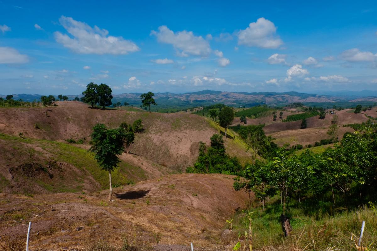
Addressing land degradation: a global priority
Maximizing quality & usability
SEN4LDN engaged with 3 pilot countries to participate to the project as early adopters providing access to local calibration and validation data sets & help defining, validating and assessing the utility of the SEN4LDN EO products and system:
- Ministry of Environment and Sustainable Development, Colombia
- Busitema University, Uganda
- Institute for Conservation of Nature and Forests, Portugal
SEN4LDN consortium
The SEN4LDN consortium comprises a team of experts specializing in LDN monitoring and its sub-indicators, including land cover change mapping, productivity mapping and carbon stocks.
The team excels in implementing cloud-agnostic solutions, conducting independent validation, engaging with users, and producing Earth Observation (EO) products on a continental to global scale. The consortium has a well-established history of collaboration in various European and ESA projects, as well as the Copernicus Land & Climate Change Service.
VITO (Belgium) serves as the prime contractor, collaborating with Lund University (Sweden), GFZ (Germany), Wageningen University (The Netherlands), and Conservation International (USA).